
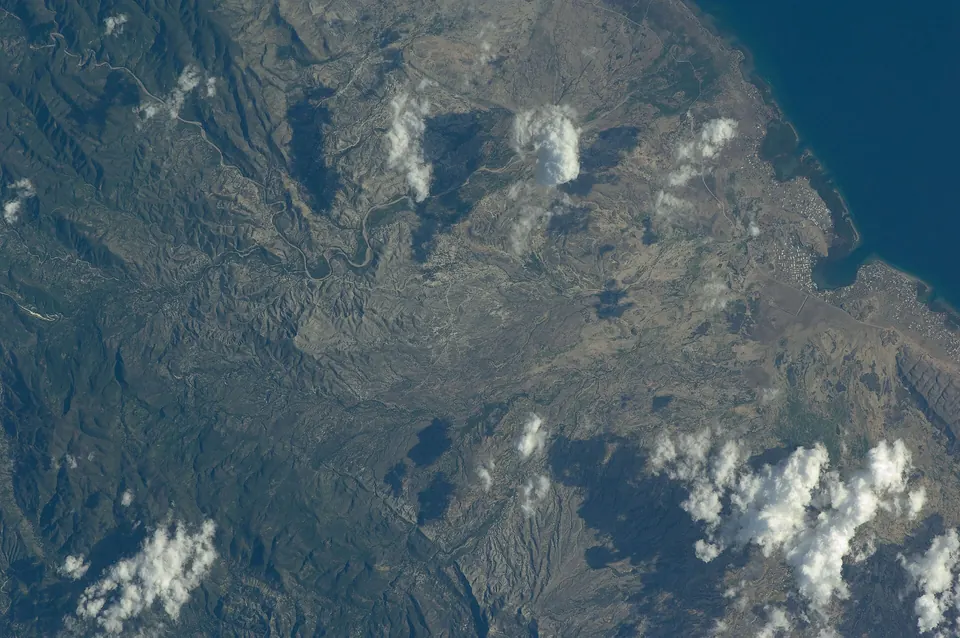
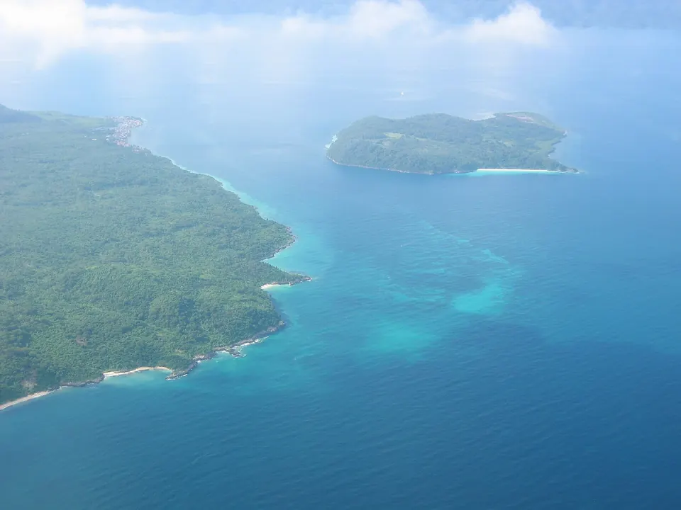
Anse d’Azur
A coastal landscape near Jérémie that belongs in a locally reviewed Grand'Anse guide.
Jérémie
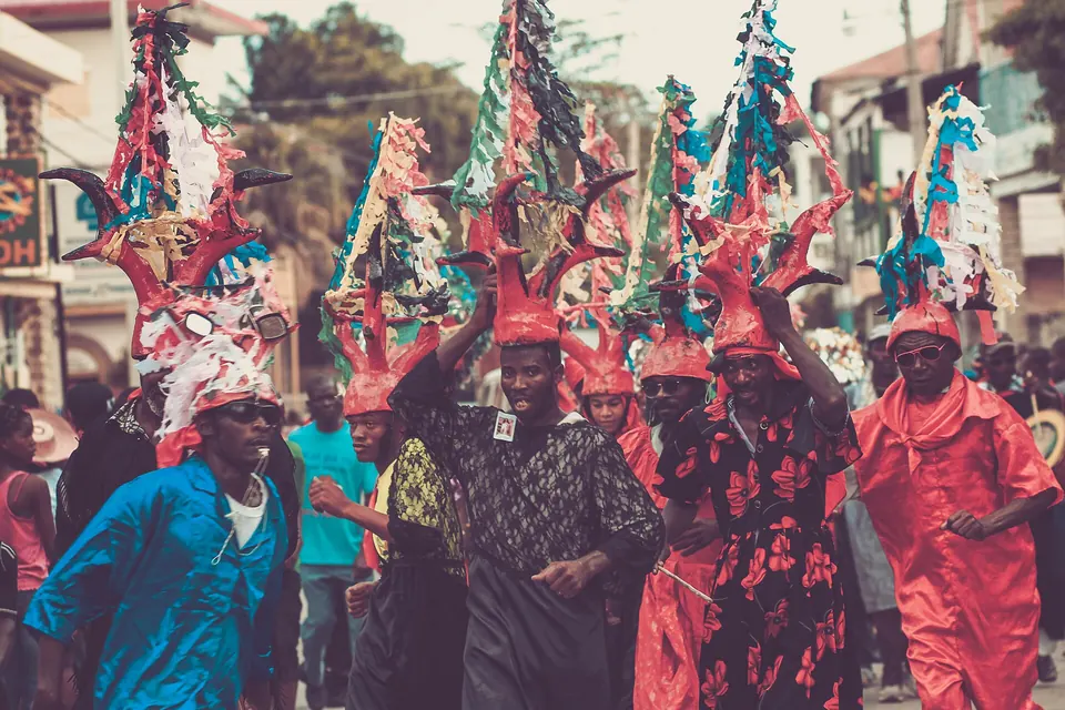
Choose a place and open its guide: what it is best for, how to get around, where to eat, stay and go, and what to check first.
Tap a pin to open the guide. The map shows stored coordinates only; it does not plan a safe route.
Loading the map…
A coastal landscape near Jérémie that belongs in a locally reviewed Grand'Anse guide.
Jérémie
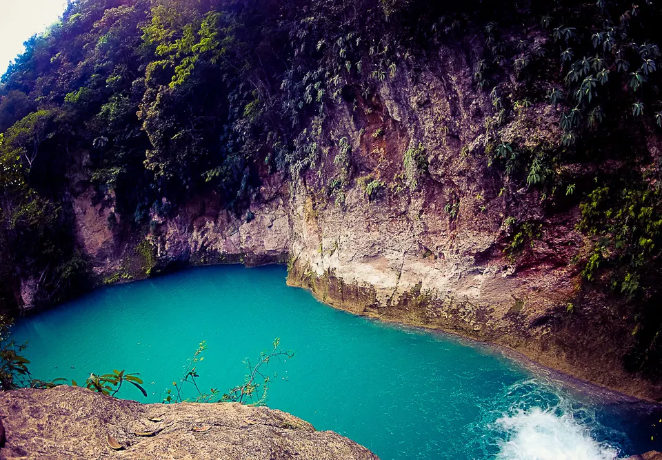
A series of blue pools and waterfalls in the hills near Jacmel.
Jacmel
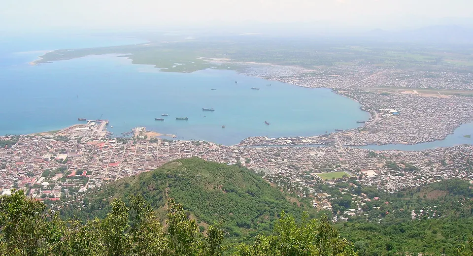
A waterfront route for observing the city's street life and coastal setting.
Cap-Haïtien
A museum context for learning about Haitian history, anthropology and Vodou traditions.
Port-au-Prince

A major historic landmark in northern Haiti and a central chapter in the country's independence story.
Cap-Haïtien
An extensive cave system associated with Port-à-Piment in southern Haiti.
Port-à-Piment
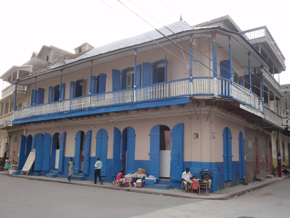
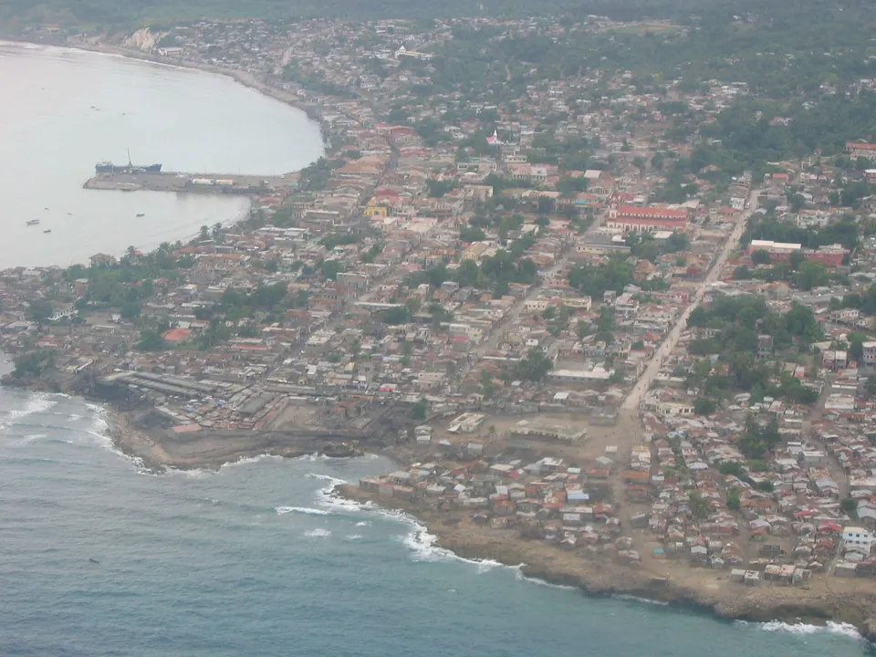
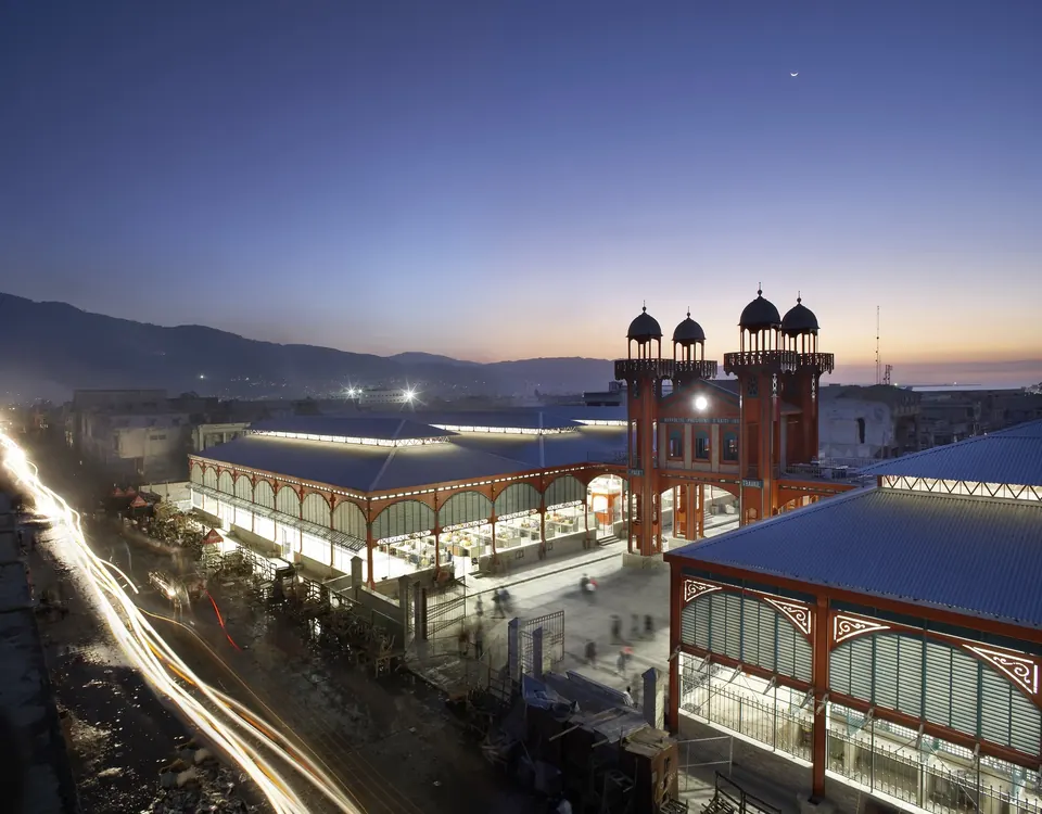
Photographs on this page: Kanaval in Jacmel Haiti 2014 03 by HOPE Art, CC BY 2.0; 2012 Cap-Haitien maison coloniale by Lionel Baur, CC BY-SA 3.0; Jacmel-haiti by Borrione, CC BY-SA 4.0; Jérémie haïti 3 by Bruno Le Bansais, CC BY-SA 3.0; Iron Market, Haiti by Hufton and Crow, CC BY-SA 4.0; Gonaives (44) by unknown author, public domain; ISS020-E-50484 - View of Haiti by Earth Science and Remote Sensing Unit , Lyndon B. Johnson Space Center, public domain; Iles Cayémite by Bruno Le Bansais, CC BY-SA 3.0; Bassin Bleu, Haiti by HOPE Art, CC BY 2.0; Cap-Haitien seen from Morne Jean by Rémi Kaupp, CC BY-SA 3.0; Citadelle Laferrière Aerial View by SPC Gibran Torres, United States Army, public domain. Other photographs: Gidnou and its community.